:format(webp)/cdn.vox-cdn.com/uploads/chorus_asset/file/14235089/Trekker_2Bwith_2BPhone_large.1419979277.jpeg)
Earth is due for an especially close flyby of an asteroid on Friday, February 15th, and Google Maps is celebrating the near miss by showing off its new panoramic imagery of an ancient impact site in the Arizona desert called Meteor Crater.
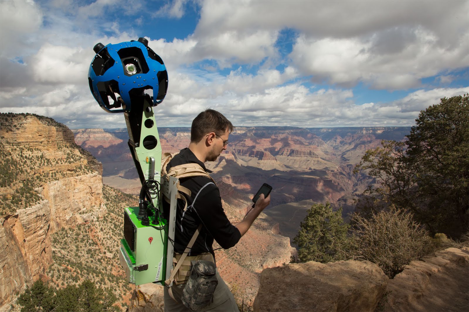
To capture the crater imagery, Google turned to its "Trekker" device, a custom Google-made backpack outfitted with 15 angled cameras for 360-degree coverage that the company unveiled last summer. Ten Google operators used 5 Trekkers to snap the crater shots and other views of the nearby Grand Canyon. Both image sets can be accessed online or mobile through Street View.
The 0.75-mile wide Meteor Crater was formed an estimated 50,000 years ago by a "small" iron-rich asteroid about 80 feet in diameter and 100,000 tons, and was the first confirmed impact crater on Earth and remains the best-preserved, according to NASA. The crater is now a tourist site open to visitors during the week. There's an older interactive map created from samples taken by scientists with the U.S. Geological Survey back in the 70s, if you're interested.
For those looking to learn more about still-orbiting asteroids, including the one set to buzz Earth on Friday, check out NASA's Near Earth Object Program Office. There's also an upcoming Google Plus Hangout with astronomy bloggers on the impending flyby on Wednesday, February 13th at 2 PM ET.
Update: A Google spokesperson responded to our question about which locations may show up next in Street View, writing: "The Trekker will hopefully enable us to collect and share imagery from more sites like this in the future, but we don't have any specific plans to announce at the moment."
:format(webp)/cdn.vox-cdn.com/uploads/chorus_asset/file/23935561/acastro_STK103__04.jpg)
:format(webp)/cdn.vox-cdn.com/uploads/chorus_asset/file/25288452/246992_AI_at_Work_REAL_COST_ECarter.png)
:format(webp)/cdn.vox-cdn.com/uploads/chorus_asset/file/25287681/1371856480.jpg)
:format(webp)/cdn.vox-cdn.com/uploads/chorus_asset/file/25287408/2003731596.jpg)