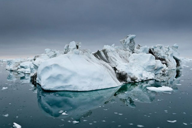
A research paper has drawn on data from NASA and ESA satellites to produce the most comprehensive assessment of ice sheet losses in Antarctica and Greenland to date.
The paper, published on 29 November in the journal Science, shows that melting Antarctic and Greenland ice sheets have added 11.1mm (0.43") to global sea levels since 1992. The paper, A reconciled estimate of ice sheet mass balance, was drawn together by an international team of 47 researchers, using data collected from ten satellite missions to produce the most consistent picture of polar ice sheets ever recorded. The resulting findings have been able to reconcile the differences that existed between previous ice sheet studies, by carefully matching observation periods and survey areas.
The findings of the international team—the Ice Sheet Mass Balance Inter-comparison Exercise (IMBIE)—give clarity to the Intergovernmental Panel on Climate Change's 2007 reports. The latter study's time scale was so broad that it was not possible to tell if Antarctica was growing or shrinking, but the use of data from NASA and ESA satellites have confirmed that both Antarctica and Greenland are losing ice.
The combined melting of both the Antarctic and Greenland ice sheets accounted for one-fifth of all sea level rises over the 20-year survey period—the remainder caused by the thermal expansion of the warming ocean, melting of mountain glaciers and small Arctic ice caps, and groundwater mining.
The rate at which the ice sheets are melting was also seen to rise over the study period, with both Antartica and Greenland shedding more than three times as much ice each year (the equivalent to a sea level rise of 0.95mm) as they were in the 1990s (0.27mm). Approximately two-thirds of the loss is coming from Greenland.
"The rate of ice loss from Greenland has increased almost five-fold since the mid-1990s" said NASA's Erik Ivins, co-author on the study. "In contrast, while the regional changes in Antarctic ice over time are sometimes quite striking, the overall balance has remained fairly constant—at least within the certainty of the satellite measurements we have to hand."
Andrew Shepherd of the University of Leeds led the study, which drew together teams from 26 laboratories from across the globe.
"It wasn't clear to us when we set out whether or not we would be able to reconcile the different satellite techniques that were involved," Shepherd told Wired.co.uk. The study was hoping to reconcile data sets from satellite altimetry, which measures changes in the ice sheet shape, interferometry, which measures changes in the speed of the ice flow, and gravimetry, in which satellites are able to sense the very small changes in attraction of the planet as a whole.
"In the past, the accuracy of climate models has been challenged by accuracy of the data that go into them. We would expect, by delivering a data model that's two or three times more reliable than the last, any model predictions will be two or three times more reliable than the last one as well.
"The caveat to that is that the great deal of uncertainty that exists over future sea level projections is not related to the observations of the ice sheets models -- it's the uncertainty associated to the emission scenario. There's a wide range of different trajectories that we might follow in terms of atmospheric emissions, and the variations in sea levels are really a consequence of those, and they're outside the control of the scientists."
The data from the study is now available on the IMBIE website for use in climate models.
This article originally appeared on Wired UK.
reader comments
161